|
||||||||||||||||||||||||||||||||||
| Mt. Waialeale, at an elevation of 5,208 feet, had a rain gage installed in 1928 that could measure up to 900 inches of rainfall for the year. Considered one of the top three wettest places on earth, we now have yearly averages of 350-400 inches. Kalihiwai Reservoir averages 110 inches up to a high of 140 inches at an elevation of 393 feet compared to Princeville's 85 inches. The driest years have been 1926 with 218 inches and 1993 with 244 inches. The wettest year recorded since records have been kept starting in 1912 was 1982 with 683 inches. In 2011 we had normal rainfall overall, though there was below normal rainfall during the four months of July-October. In 2012 we started out dry other than January 17th, but the last week of February, entering our wettest month of March, brought a 12 day storm bringing 66.6 inches of rain to the Mt. Waialeale rain gage. Rainfall Websites: hi.water.usgs.gov www.river-depth.com Hanalei Bridge Closure: When the Hanalei River gets almost to 7 feet on the USGS gage Hwy 560 closes and opens when the gage reads just below 4.5 feet. |
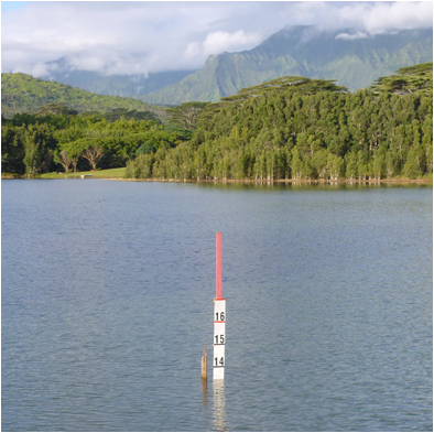 Stick at Kalihiwai Reservoir |
|||||||||||||||||||||||||||||||||